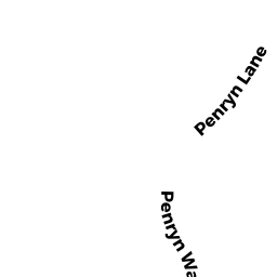
7 PENRYN WAY
Owner Information
EASTWOOD ROSS A TRS
7 PENRYN WAY
ROCKPORT, MA 1966


Property Details
7 PENRYN WAY is classified as a Single Family Residential (Cape cod).
The primary structure on this property was built in 1924. There are 5,186ft2 of built area within this property. There is 3,200ft2 of residential/living space within this property. This property is listed as having 11 rooms.
7 PENRYN WAY is valued at $767,400. The land is valued at $368,800 and the structures are valued at $394,400. There is an additional valuation of $4,200 on this property.
This property is in Zone R1. Confirm with local Zoning Board authorities to ensure there are no overlays or other easements on this property.
The most recent deed for 7 PENRYN WAY is recorded at the local registrar in Book 37196, Page 536. 7 PENRYN WAY was last sold on Tuesday, December 4, 2018 for $100.
Assessment data from fiscal year 2021.
Flood Data
According to the FEMA National Flood Hazard Layer, this property does not appear to be in a flood zone. It may also be in an area not yet reviewed. Nonetheless, confirm this information prior to taking any action.
To view the flood hazards around this property, create a FEMA "Firmette" Map of the area around 7 PENRYN WAY.
Broadband Internet Providers
| Provider | Type | Bandwidth (mbps) | |
|---|---|---|---|
| Verizon New England Inc. | DSL | 5 | 0 |
| VSAT Systems, LLC. | Satellite | 2 | 1 |
| HughesNet | Satellite | 25 | 3 |
| GCI Communication Corp. | Satellite | 0 | 0 |
| T-Mobile | Fixed Wireless | 25 | 3 |
| Viasat Inc | Satellite | 35 | 3 |
| Comcast | Cable | 1000 | 35 |
Broadband service provider data from December 2020.
Adjacent Properties
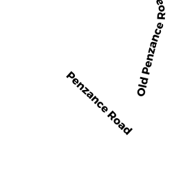
- 14 PENZANCE RD
Single Family Residential owned by SUNSTEIN BRUCE D - 4 RUTHERN WAY
Single Family Residential owned by THOMPSON MARILYN S - RUTHERN WAY
Undevelopable Residential Land owned by THOMPSON JOHN W - 8 RUTHERN WAY
Single Family Residential owned by MUEHLIG ELEANOR T TRS - 5 PENRYN WAY
Single Family Residential owned by GORDON JACQUES N - 9 PENRYN WAY
Single Family Residential owned by MAIER LOUISE U